
Geospatial Podcast with Nick Smith – Exploring the Universe of GEOINT & GIS

THE NDS SHOW HOSTED BY NICK SMITH – EXPLORING THE WORLD OF GEOSPATIAL TECHNOLOGIES
Are you looking for a podcast that explores intelligence in all facets of life, with a touch of humor? Look no further than “NDS” – the Geospatial Podcast hosted by Nick.
As an Army Veteran with expertise in Nationally vital Geospatial Intelligence Operations, Nick has a unique perspective on the world around us. With successful businesses and experiences across a variety of industries, including technology, defense, sports, entertainment, real estate, and crypto, Nick brings a wealth of knowledge and expertise to every episode.
But don’t expect a dry, boring lecture – Nick believes that humor is the knife that cuts through all the nonsense, and he’s not afraid to use it. He approaches each topic with a light-hearted touch, making even the most complex subjects accessible and engaging.

SUBSCRIBE NOW ON YOUTUBE
WATCH EVERY EPISODE FREE ON YOUTUBE
A Geospatial Podcast that Entertains & Informs
So what can you expect from “NDS”? Each episode offers a new opportunity to learn something new and expand your mind. From expert analysis of current events to exclusive interviews with experts, Nick and his guests will help you gain a deeper understanding of the geospatial world around you.
Whether you’re interested in science and technology, artificial intelligence, maps, apps, or geospatial entertainment and anything in between, there’s something for everyone on “The NDS Show”. With Nick’s unique blend of intelligence and humor, you’ll find yourself laughing and learning at the same time.
If you’re looking for a podcast that offers thought-provoking discussions, valuable insights, and a touch of humor, this is the podcast for you. Join Nick on his journey to explore the world of intelligence in all facets of our lives. You won’t regret it!
Geographic Information Systems and Technology to the Explosion of Geospatial Intelligence
Geospatial technology has become increasingly important in our modern world. With the rise of GPS and other location-based technologies, we can now track and analyze data in ways that were once unimaginable. Nick and his guests delve into the latest advances in geospatial technology, exploring topics such as satellite imagery, Geographic Information Systems (GIS) mapping software, innovative businesses and more.
LATEST GEOSPATIAL PODCAST EPISODE
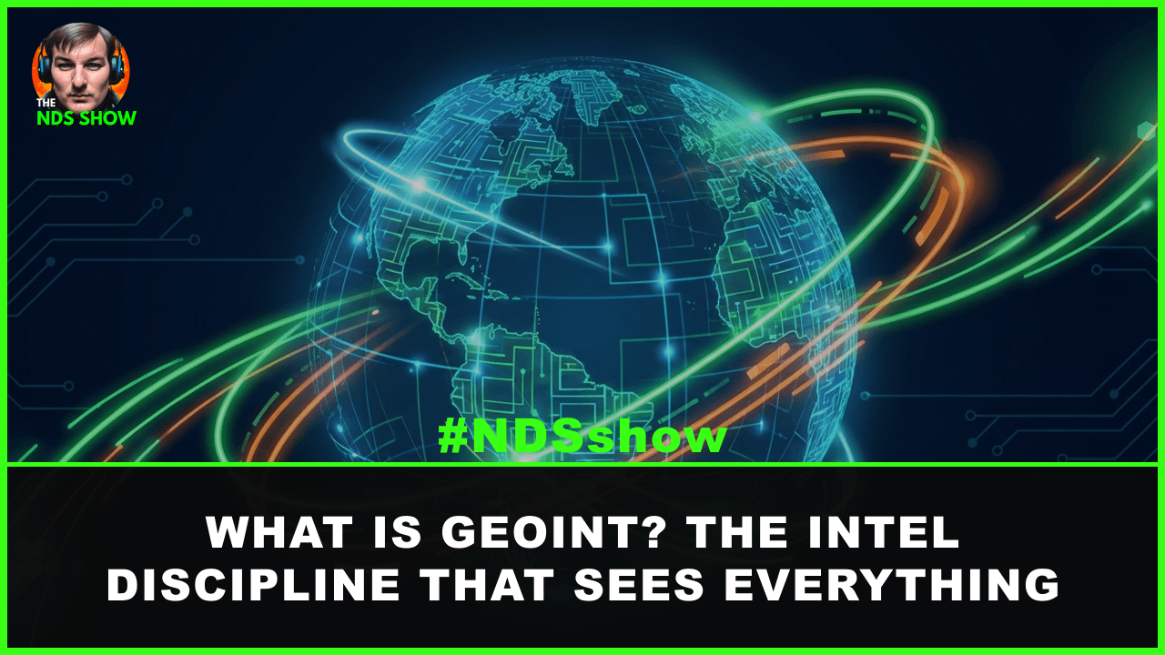
What Is GEOINT? The Intelligence Discipline That Sees Everything
GEOINT — geospatial intelligence — combines satellite imagery, mapping data, and analysis to answer one question: what is happening, where? Here’s how it works.
But geospatial technology is only part of the equation – it’s the intelligence behind the technology that truly makes a difference. Nick’s experience in Nationally vital Geospatial Intelligence Operations gives him a unique perspective on the power of geospatial intelligence. He and his guests explore the ways in which geospatial intelligence can be used to solve complex problems, from disaster response to national security.
Of course, geospatial technology and intelligence wouldn’t be possible without the companies and organizations that develop and use them. Nick and his guests discuss the latest trends and developments in the geospatial industry, shining a spotlight on the companies that are leading the way.
SUBSCRIBE NOW ON YOUTUBE
WATCH EVERY EPISODE FREE ON YOUTUBE
And finally, there’s geospatial data – the vast amounts of information that can be gleaned from location-based technologies. Nick and his guests explore the ways in which geospatial data can be used to gain insights into everything from consumer behavior to climate change.
Overall, “NDS” offers a comprehensive look at the world via this geospatial podcast covering things like technology, intelligence, companies, and data.
A Geospatial Podcast for Geospatial Analysts and More!
Whether you’re a seasoned expert or simply curious about this exciting field, you’ll find something of interest on this engaging and informative podcast. Subscribe NOW on YouTube, it’s free!
Latest Geospatial Insights

What Is GEOINT? The Intelligence Discipline That Sees Everything
GEOINT — geospatial intelligence — combines satellite imagery, mapping data, and analysis to answer one question: what is happening, where? Here’s how it works.
Continue Reading What Is GEOINT? The Intelligence Discipline That Sees Everything
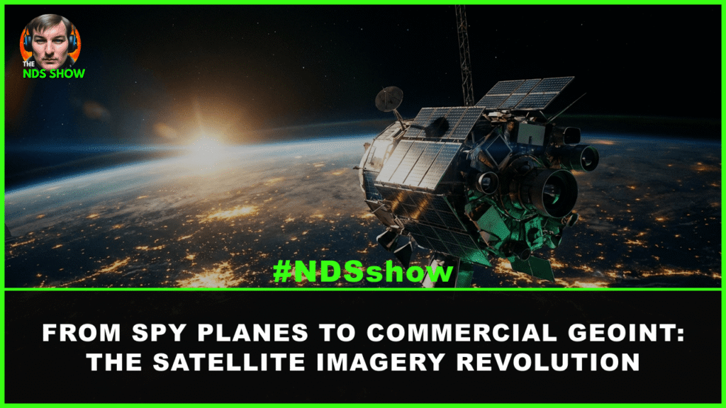
Satellite Imagery in Modern Intelligence: From Spy Planes to Commercial GEOINT
How satellite imagery evolved from Cold War spy planes to today’s AI-powered commercial GEOINT systems, and why it matters for intelligence, defense, and beyond.
Continue Reading Satellite Imagery in Modern Intelligence: From Spy Planes to Commercial GEOINT

Pentagon’s “Ghost Recon” Program: Why the DoD Wants Satellites That Spy on Other Satellites
The Pentagon’s “Ghost Recon” program wants commercial satellites that can photograph adversary spacecraft in orbit. Here’s what that means for space security.
Pentagon’s ‘Ghost Recon’ Program: Why the DoD Wants Satellites That Spy on Other Satellites
The Pentagon’s Ghost Recon program asks commercial companies to build satellites that can photograph other satellites in geosynchronous orbit. Here’s why this matters for space domain awareness.

What Does a GIS Analyst Actually Do in National Security?
GIS analysts in national security turn satellite imagery into actionable intelligence. Learn about the tools, agencies, salaries, and career paths in this growing field.
Continue Reading What Does a GIS Analyst Actually Do in National Security?


Inside America’s Most Powerful Military Unit (JSOC’s Secret Origins & Capabilities) with Sean Naylor

The REAL Story of George Washington, The White House Ballroom, and the Medal of Honor with Historian Edward Lengel

Russia Is Feeding Iran Intel to Target U.S. Forces

How Far Can a Drone Fly? A Comprehensive Guide to Drone Flight Range

The Best NEW Podcast in 2023 to Listen and Watch

Spatial Intelligence in Our Technology-Driven World, Why it’s Important!

The Return of CIA Spycraft? Iran, Russia, China & the New Intelligence War with Douglas London

This OSINT AI Predicts the Future to Mitigate Risks and Protect Against Threats

The Untold SACRIFICE of Law Enforcement (Extreme Violence & Scandals) | ATF Agent Peter Forcelli
