Science
How Geographers Use Drones to Learn About the World
Modern technology has allowed geographers and scientists to collect more data than ever before about the world we live in. While drones may not be considered geospatial technology, they play a substantial role in the collection of geospatial data. In fact, they are so crucial that UAS expert Kerry Mapes carries one around in her handbag everywhere she goes.
What Does a Geographer Do?
There are many applications of geography depending on a geographer’s interests and specialization. Kerry Mapes uses her drone expertise to partner with other scientists to help them map areas and collect geospatial data. She first used a drone during her time at the University of North Carolina Wilmington, where she studied with a friend of the NDS Show Podcast, Dr. Narcisa Pricope. So her first time using a drone was in a research and data collection capacity (rather than starting off in a photography or hobby capacity, as many people do.)
She has published research papers comparing data from different drones, sensors, and flight heights to see how those variables affect the outputs. Other GIS applications of drones include vegetation analysis and monitoring. An early project saw Kerry Mapes partnering with biologists to help them to collect data about the behaviors of endangered species.
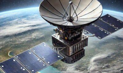
How Does Modern Technology Help Geographers?
Technological advancements provide huge leaps forward in our understanding of the world. They allow us to collect more data, higher quality data, or even new types of data that give us additional insights. These technologies inform a wide range of decision-making, including climate change policies.
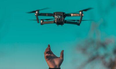
Uses of Drones in Geography
Kerry Mapes and her colleagues are finding fascinating ways to use drone technology to improve GIS data collection. Being a relatively new field means that UAS experts are required to get creative to solve problems. For example, a colleague of hers, Britton Baxley once had to build a mount to attach a multi-spectral sensor to a DJI Phantom drone using Lego and zip ties.
Early in their careers, Baxley and Mapes were asked to accompany a group of biologists out to an uninhabited island to use drones to collect data about the nesting habits of an endangered species of bird. They were using a fixed-wing drone that, from the perspectives of the birds, resembled a predatory bird. The biologists were worried about the impact of observation on the birds – specifically, that the birds would abandon their nests.
After a little experimentation with different flight altitudes, Kerry Mapes and Britton Baxley decided to camouflage the drone and break up the silhouette so it didn’t look like a bird. They used blue paper, tape, and paint to modify the drone on the fly.
Currently, Kerry Mapes is interested in the use of drones to map coastal areas, especially after storms or flooding events. The sensors allow scientists to examine the impact of changes to these environments, especially the impact on water quality. Scientist are better able to identify water quality issues that otherwise may have gone unnoticed.
Geospatial Technology Mounted on Drones
The benefits of using drones to collect geospatial intelligence are less about the drones themselves and more about the technology they can carry. Geographers and UAS experts mount sensors on drones to collect imaging and data in a particular area. Some of the geospatial technology that is mounted on drones include:
- LiDAR sensors
- Multi-spectral sensors
- Thermal imaging
- RGB (Color) Sensors
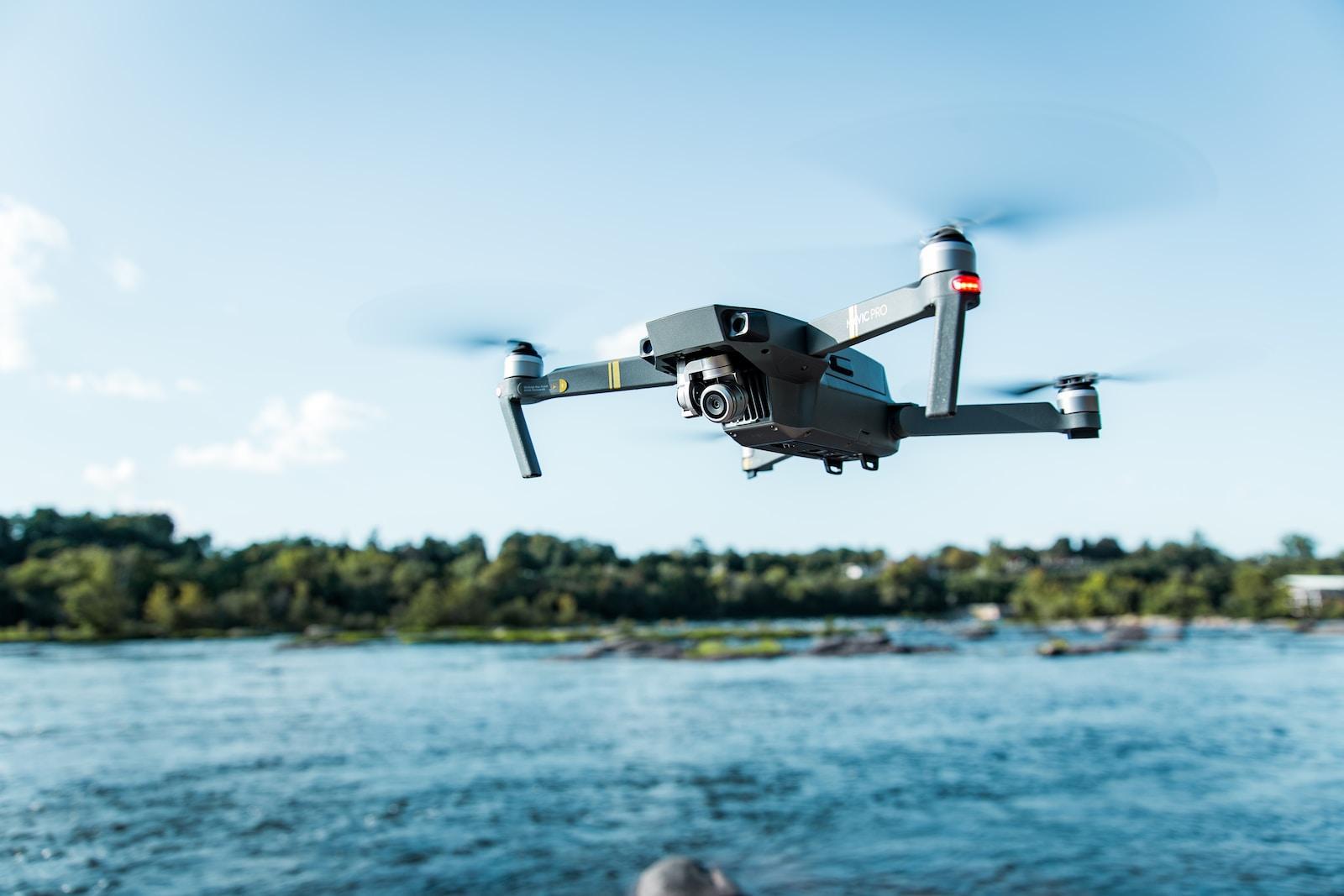
Drones offer more detailed imaging than satellite imaging. Drones are accurate to a centimeter in many cases, which is a huge improvement on current satellite data.
Geospatial technology is advancing just as fast as drone technology is. One of the current focuses is making these sensors smaller and lighter to allow for longer flight times. This would enable researchers to collect more data per flight.
Uses of AI in Geography
Many geographers are using AI technology like Chat GPT to assist them in their research. It is incredibly useful for brainstorming and offloading ideas in the research process. AI technology is also able to process geospatial data to help researchers and scientists analyze and form predictions from the collected data.
Best Drones for Geographers
Kerry Mapes is partial to the eBee drone as it can map large areas while carrying a variety of different sensors. This is the drone that the University of North Carolina Wilmington uses in their GIS department, and so she has been using the eBee drone in much of her research.
Recently, she has started working with a Rotocopter, the DJI Matrice 300. It is larger and, therefore, can carry the heavier sensors that the eBee cannot. This is particularly useful for LiDAR imaging which is in high demand. The only consideration is that the DoD has banned the use of DJI drones and any other foreign-made drones around their properties.
This article was taken from a conversation with Kerry Mapes about drone technology on the NDS Show Podcast. Watch the full episode on YouTube to learn about how drones are supplying researchers and scientists with geospatial data. Subscribe to The NDS Show on YouTube to stay up to date with the latest in the geospatial intelligence field.