
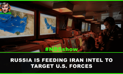

U.S. officials confirm Russia is providing Iran satellite imagery of American warships and aircraft in the Middle East, escalating the ongoing conflict.


DOGE terminated 273 defense contracts worth $5.1 billion. Here's what's getting cut, what's growing, and how defense professionals should adapt their careers.
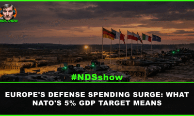

NATO allies pledged 5% GDP defense spending by 2035. With Germany past $107B, Europe's rearmament reshapes the transatlantic defense industry landscape.


U.S. aerospace and chip suppliers face worsening rare earth shortages as China restricts exports. Yttrium prices have surged 6,900% with defense production at risk.


GEOINT — geospatial intelligence — combines satellite imagery, mapping data, and analysis to answer one question: what is happening, where? Here's how it works.
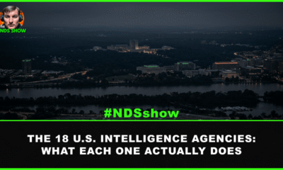

The U.S. Intelligence Community has 18 agencies. From CIA and NSA to Coast Guard Intelligence, here is what each one actually does and how they work...
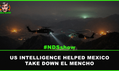

Mexican forces killed cartel kingpin El Mencho with US intelligence support from a new Pentagon task force. Here is what happened and what comes next.
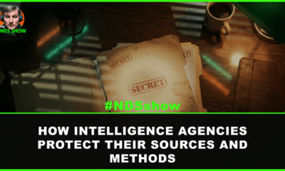

How does the U.S. intelligence classification system work? From Confidential to Top Secret/SCI, learn how agencies protect sources and methods and why it matters.
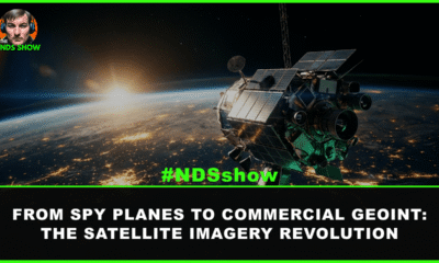

How satellite imagery evolved from Cold War spy planes to today's AI-powered commercial GEOINT systems, and why it matters for intelligence, defense, and beyond.


Learn how to break into the U.S. Intelligence Community. Career paths, security clearances, in-demand skills, and insider tips for IC jobs.


