
Geospatial Podcast with Nick Smith – Exploring the Universe of GEOINT & GIS

THE NDS SHOW HOSTED BY NICK SMITH – EXPLORING THE WORLD OF GEOSPATIAL TECHNOLOGIES
Are you looking for a podcast that explores intelligence in all facets of life, with a touch of humor? Look no further than “NDS” – the Geospatial Podcast hosted by Nick.
As an Army Veteran with expertise in Nationally vital Geospatial Intelligence Operations, Nick has a unique perspective on the world around us. With successful businesses and experiences across a variety of industries, including technology, defense, sports, entertainment, real estate, and crypto, Nick brings a wealth of knowledge and expertise to every episode.
But don’t expect a dry, boring lecture – Nick believes that humor is the knife that cuts through all the nonsense, and he’s not afraid to use it. He approaches each topic with a light-hearted touch, making even the most complex subjects accessible and engaging.

SUBSCRIBE NOW ON YOUTUBE
WATCH EVERY EPISODE FREE ON YOUTUBE
A Geospatial Podcast that Entertains & Informs
So what can you expect from “NDS”? Each episode offers a new opportunity to learn something new and expand your mind. From expert analysis of current events to exclusive interviews with experts, Nick and his guests will help you gain a deeper understanding of the geospatial world around you.
Whether you’re interested in science and technology, artificial intelligence, maps, apps, or geospatial entertainment and anything in between, there’s something for everyone on “The NDS Show”. With Nick’s unique blend of intelligence and humor, you’ll find yourself laughing and learning at the same time.
If you’re looking for a podcast that offers thought-provoking discussions, valuable insights, and a touch of humor, this is the podcast for you. Join Nick on his journey to explore the world of intelligence in all facets of our lives. You won’t regret it!
Geographic Information Systems and Technology to the Explosion of Geospatial Intelligence
Geospatial technology has become increasingly important in our modern world. With the rise of GPS and other location-based technologies, we can now track and analyze data in ways that were once unimaginable. Nick and his guests delve into the latest advances in geospatial technology, exploring topics such as satellite imagery, Geographic Information Systems (GIS) mapping software, innovative businesses and more.
LATEST GEOSPATIAL PODCAST EPISODE
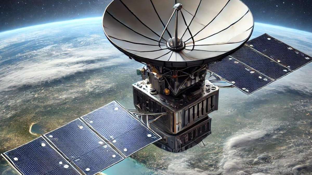
The Challenges and Triumphs of Launching Synthetic Aperture Radar Satellites: An Inside Look at Umbra
The world of satellite technology is filled with innovation, but it’s also fraught with challenges that…
But geospatial technology is only part of the equation – it’s the intelligence behind the technology that truly makes a difference. Nick’s experience in Nationally vital Geospatial Intelligence Operations gives him a unique perspective on the power of geospatial intelligence. He and his guests explore the ways in which geospatial intelligence can be used to solve complex problems, from disaster response to national security.
Of course, geospatial technology and intelligence wouldn’t be possible without the companies and organizations that develop and use them. Nick and his guests discuss the latest trends and developments in the geospatial industry, shining a spotlight on the companies that are leading the way.
SUBSCRIBE NOW ON YOUTUBE
WATCH EVERY EPISODE FREE ON YOUTUBE
And finally, there’s geospatial data – the vast amounts of information that can be gleaned from location-based technologies. Nick and his guests explore the ways in which geospatial data can be used to gain insights into everything from consumer behavior to climate change.
Overall, “NDS” offers a comprehensive look at the world via this geospatial podcast covering things like technology, intelligence, companies, and data.
A Geospatial Podcast for Geospatial Analysts and More!
Whether you’re a seasoned expert or simply curious about this exciting field, you’ll find something of interest on this engaging and informative podcast. Subscribe NOW on YouTube, it’s free!
Latest Geospatial Insights
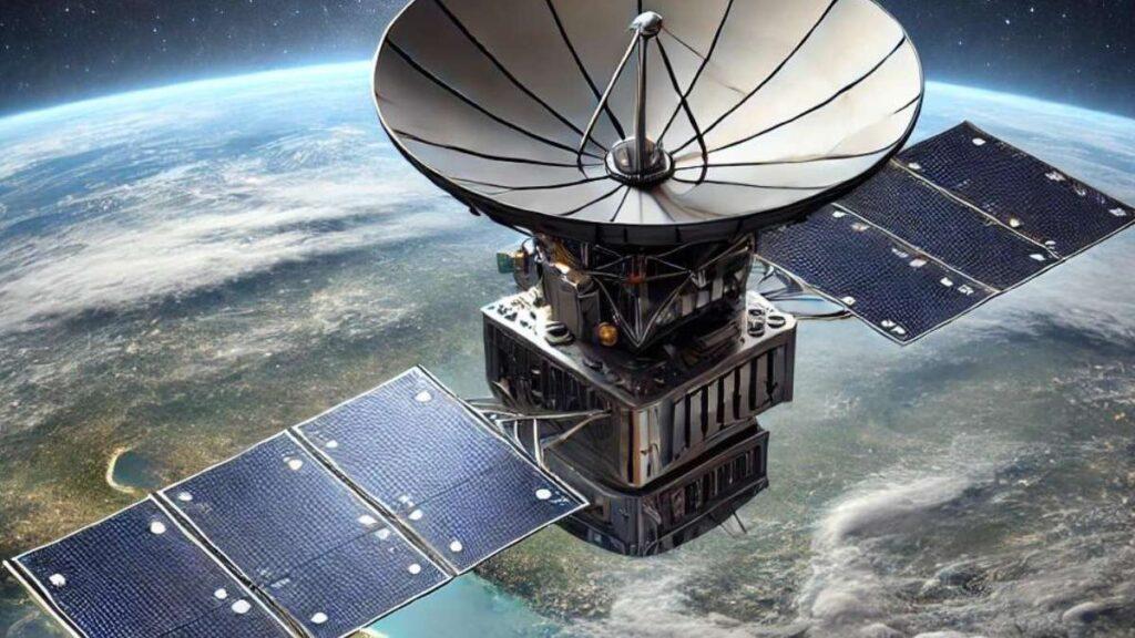
The Challenges and Triumphs of Launching Synthetic Aperture Radar Satellites: An Inside Look at Umbra
The world of satellite technology is filled with innovation, but it’s also fraught with challenges that few outsiders truly understand. Umbra, a company at the forefront of Synthetic Aperture Radar (SAR) satellite technology, has navigated these challenges with remarkable resilience and ingenuity. In this blog post, we delve into the complexities of launching SAR satellites and explore how Umbra…

Why Synthetic Aperture Radar (SAR) is CRUCIAL for Earth Observation w Umbra Space’s Gabe Dominocielo
Gabe Dominocielo, co-founder of Umbra Space, discusses the challenges and excitement of launching SAR satellites and the unique capabilities of synthetic aperture radar. He shares insights into the process of developing satellites, the choice of SAR technology, and the importance of precision in radar imagery. Gabe also talks about the diverse range of customers, including governments, commercial industries, and…
Inside SkyFi: Disrupting Earth Observation and Satellite Imagery with CEO Luke Fischer
Welcome to our latest podcast episode where we sit down with Luke Fischer, the CEO and cofounder of SkyFi, a company revolutionizing the world of satellite imagery. We delve into the fascinating journey of SkyFi, exploring their cutting-edge earth observation application that is reshaping how we order satellite imagery, including Electro Optical, Thermal, Synthetic Aperture Radar, and Multi-Spectral. In…

$127 BILLION Geospatial Intelligence (GEOINT) Industry: Government Contracting & Commercial SUCCESS
Welcome to another insightful episode of “The NDS Show,” where we delve into the fascinating market of Geospatial Intelligence (GEOINT) including government contracting and commercial industry. We start off by introducing and explaining what GEO261 is all about and the different ways you can become involved in the GEOINT market segment. We also discuss the critical role military training…
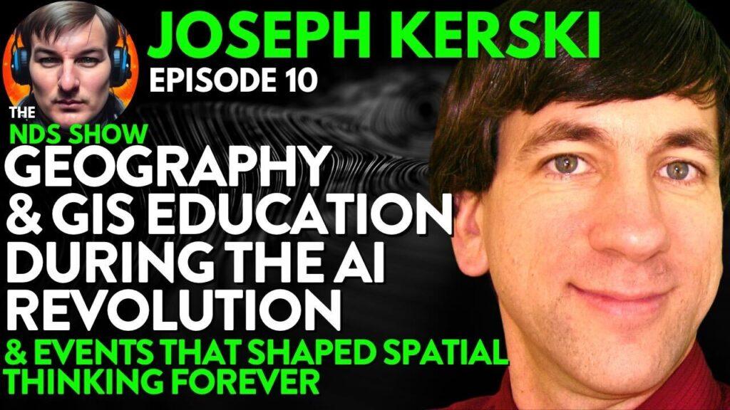
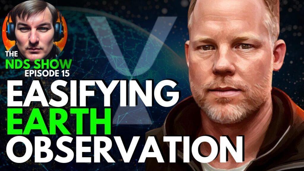
Geography & GIS Education during the AI REVOLUTION & Events That Shaped Spatial Thinking FOREVER with ESRI’s Joseph Kerski, PHD
This podcast covers Geography Education with Artificial Intelligence, Critical Thinking for GIS professionals, the state of Ethics in Geography and GIS, and a deep dive into inspirational figures and events that have shaped geography and geospatial thinking forever. Dr. Joseph Kerski shares his expertise on the explosion of AI tools for GIS applications and how to approach education in…


The Untold SACRIFICE of Law Enforcement (Extreme Violence & Scandals) | ATF Agent Peter Forcelli

UNBELIEVABLE: Overcoming INSANE Adversity with Joe O’Connor

The MINDBLOWING Meaning behind the HEROIC Monuments of Austin Weishel


