Geospatial
How the Intelligence Community Predicts Military Threats and Geopolitical Events
Mapping and surveying have been used since the very birth of our nation to gather intelligence on possible threats and plan the expansion of the United States. George Washington and Lewis and Clark are prominent historical examples of defense mappers, the earliest form of Geospatial Intelligence. Today, GEOINT, supports a variety of humanitarian, and geopolitical efforts, including support for the modern military battlefield and international geopolitical affairs, all headed by the Intelligence Community agency responsible for the United States Geospatial Strategy, NGA.
Introducing the National Geospatial-Intelligence Agency (NGA)
Members of the geospatial intelligence (GEOINT) community like to joke that the NGA is the largest intelligence agency that no one has ever heard of. That is not because the NGA is highly classified; though they do have classified programs, it’s because the public is not broadly aware of what geospatial intelligence is or what the NGA does.
NGA stands for National Geospatial-Intelligence Agency. Their contributions are far greater than just supporting military operations. The intelligence agency also predicts global political crises, provides disaster relief, and plans global transport networks, to name a few. As the NGA explain on their website:
“Anyone who sails a U.S. ship, flies a U.S. aircraft, makes national policy decisions, fights wars, locates targets, responds to natural disasters, or even navigates with a cellphone relies on NGA.”
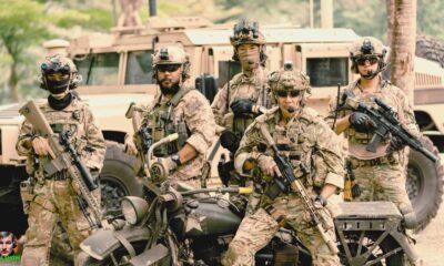
From a military application, the NGA collects, analyzes, and reports on geospatial data, or location information, to inform cross agency or senior government decision-making. Data can be gathered from things like satellite imagery, drone imagery, GPS trackers, or even mobile advertising data, aka Ad tech data. The NGA is responsible for making useful intelligence out of this information to guide geopolitical decision making, build navigation systems, plan development, target enemy combatants, or even provide situational awareness on extreme weather events.
The Intelligence Community Predicted the Russia-Ukraine War with GEOINT
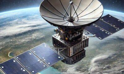
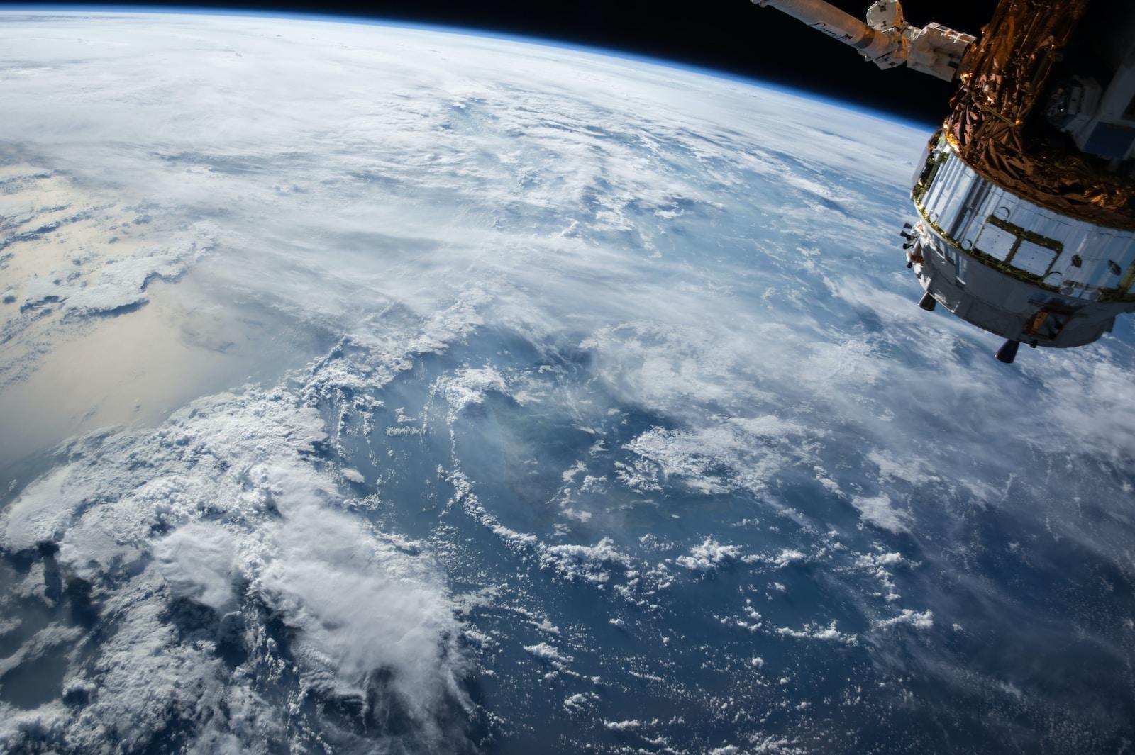
Geospatial intelligence relies on a lot of different tools to collect data, one of those tools being satellites equipped with sensors like Electro Optical or Infrared camera systems. GEOINT analysts will examine a series of satellite images of a specific area to identify patterns that allow them to make predictions. Climate scientists will look at human and environmental activity to predict the impacts of weather events or how the environmental factors local populations.
In military and humanitarian applications, geospatial analysts can use satellite imagery to document and examine the activity of groups of people, including military units. Military operations tend to be precise and follow specific patterns, so military leaders that rely on geospatial intelligence can predict when a foreign government is gearing up for an attack. Keith Masback demonstrated this in a recent video for Wired. Leading up to Russia’s invasion of Ukraine, satellite imagery showed similar Russian activity to what was previously seen when Russia invaded the Crimea peninsula of Ukraine.
Specific supplies were shipped to the frontlines that indicated that Russia was gearing up for an invasion rather than just undertaking a military exercise. For example, blood supplies, water purification units, and mortuary units were sent to the frontlines, indicating the seriousness of the buildup. Satellite Imagery Analysts could rightfully predict the invasion of Ukraine for the intelligence community because of the positioning of these military units and their similarity to previous military actions by Russia.
These patterns have created global transparency around military movements and humanitarian events. It is no longer possible to hide your actions because the evidence can be seen, tracked, and analyzed via satellite imagery, Open Source Intelligence (OSINT), and GEOINT.
Spy Balloons and the Intelligence Community
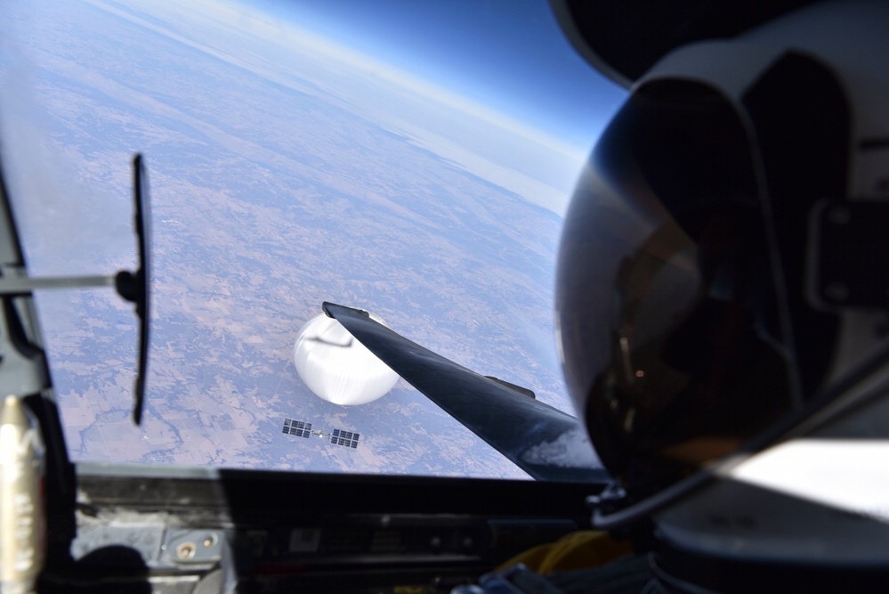
Scientists fly balloons and drones equipped with sensors and cameras to collect valuable data. In the past, there was cooperation between scientists from different countries to return the equipment that wandered into another country’s territory. This would allow the scientists to continue their research even if their balloons or drones were shot down by the military. However, this courtesy does not extend to adversaries looking to gather military intelligence data. As seen with the Chinese spy balloon that flew over US territory earlier this year, governments are concerned about intelligence data being collected and used against US interests.
While Keith Masback says that the government will be able to piece together the balloon and devices to gain a good understanding of the balloon’s capabilities and he was correct. New reporting indicates the balloon was able to collect Electronic Signal Intelligence (ELINT) on major US military infrastructure.
“There’s not another Air Force in the world that had the capability to do what our Air Force did. We saw these significant Air Force assets that are capable of both collecting and jamming. In this case, I think we collected on it when we wanted to. We jammed it when we wanted to. We allowed it to do the things we wanted it to. And then, when it got over shallow water, and people were out of harm’s way, we dropped it into forty-odd feet of water.”
Even those that may disagree with President Biden’s decision to let the balloon drift across the country, would agree that the US Military handled their assignment professionally and to the mark.
Intelligence Gathering via TikTok and Hacking the Metaverse

While the government is right to be wary of the types of data foreign governments can collect via drones, balloons, and other UAP, Keith Masback suggests that the average person should be more concerned about the data that foreign governments can collect from apps like TikTok. While you’re scrolling TikTok, a Chinese company is collecting data on you, your habits, and your movements. Recent hearings in Congress on TikTok suggest that, while the Chinese government does not have direct 24/7 access to the data, they do have the option to access that data at any given time.
There is a similar concern being raised in discussions about the Metaverse. Military and intelligence operations would greatly benefit from being able to access many skill sets remotely. Even for a simple task like repairing equipment, it would be beneficial for a repair technician to wear glasses and access people from different companies or component manufacturers to help diagnose issues, as military and government intelligence equipment is very niche and unique. But how do you stop hackers from watching over our shoulders and collecting data while we’re doing so?
Keith Masback is also concerned about hackers’ ability to alter what we see in the Metaverse and the implications of not being able to trust sources. He remembers back in 1994, he and his team at Fort Bragg were monitoring transponders to track aircraft positions along a journey. One of his team members created a PowerPoint that showed the route and aircraft positions were moved along the route in a powerpoint slide, based on where they were predicted to be. The slides were projected for the entire operations floor, including senior officers and government officials.
Keith remembers turning to his buddy and saying that if they changed the next slide to show fewer aircraft, everyone would lose their mind because they believed they were watching actual live data versus just a presentation slide. It would be incredibly jarring if those decision-makers could no longer trust their intelligence systems or command and control systems.
This article was taken from a conversation with Keith Masback, a long time veteran of the intelligence community, about the role of Geospatial intelligence in counterterrorism and defense on The NDS Show Podcast. Watch the full episode on YouTube to learn about the declassification of intelligence, the origins of the USGIF (United States Geospatial Intelligence Foundation), and how the military uses tools and technology from startups. Subscribe to The NDS Show on YouTube to stay up to date with the latest in the geospatial intelligence field.